Airbus’s Starling: From Mitigation to Regeneration

November 2025
Rate this article

ABSTRACT

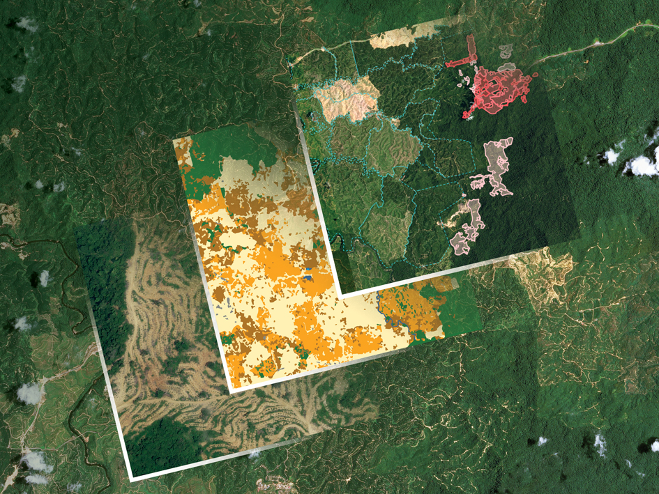
Airbus’s Starling platform leverages its satellite imagery and artificial intelligence to provide accurate, high-resolution monitoring of forests. This helps organisations from small-scale farmers to large industrial corporations and governmental entities to halt or reverse deforestation and support Indigenous communities. Providing the precise measurement of carbon footprints resulting from land-use change contributes to global conservation and restoration.

2.95

Author: Montaine Foch

An agricultural engineer by training, Montaine Foch is the Agriculture & Environment Marketing Manager at Airbus Defence and Space. Her missions include the promotion and development of satellite-based services such as precision farming, deforestation monitoring, grassland insurance and topics related to sustainability (oceans, natural disasters, resilience, etc.).

Contact: https://www.linkedin.com/in/montainefoch/

All articles of this author

Author: Julie Barre

Julie Barre joined Airbus Defence and Space after obtaining her Master Degree in Languages & Technical Communication. She works as Sustainability & Optical Constellation Operational Marketing Manager to promote and communicate how Optical Constellation solutions can make the difference to deforestation monitoring, natural disasters, and sustainability.

Contact: https://www.linkedin.com/in/julie-barre-7b203922/

All articles of this author

Comments

There are no reviews yet.

Leave a comment

Leave a Reply

Your email address will not be published. Required fields are marked *